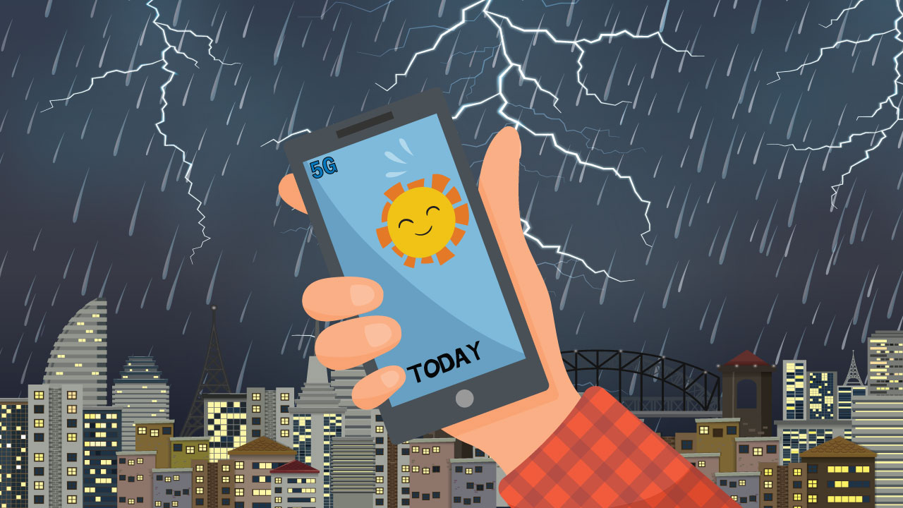
There is a stormy debate brewing in the US between government departments and the mobile phone industry over whether 5G technology will threaten accurate weather forecasts.
Wireless companies will begin using the 24 gigahertz (GHz) band for 5G technology, which will operate about 100 times faster than 4G. But the National Oceanic and Atmospheric Administration (NOAA) and NASA say its use could mess with their water vapor detection and hence compromise their ability to accurately predict storms and hurricanes.
Companies want to include much higher frequency bands into 5G antennas so they can pack more information into the signals. Nearby frequencies however is critical for weather forecasters. Water vapor in the air emits a tiny amount of radiation. This is one of the best ways to remotely sense the atmospheric water content that fuels clouds and storms. It helps predict the strength of hurricanes and where they will make landfall.
5G transmissions will be separated from the water vapor band by a 250-megahertz (MHz) buffer, but forecasters worry they will bleed into the band and swamp the faint natural emission. NOAA is confident its data will be compromised and the accuracy of the weather forecast will be reduced 30 percent. That’s around the same accuracy the weather had in the 1980s. If you remember, weather forecast back then was pretty rubbish.
The World Radiocommunication Conference will begin on October 28 in Egypt and the future of 5G radio technology will be debated there. The rest of the telecommunications world is hoping the US agencies settle the argument before then.
A potential compromise would be to permit 5G telecommunications at 24 GHz but set a limit on their volume. Meanwhile, forecasters express concern that the growth of 5G could threaten other spectrum bands. The 36-37 GHz band is used to spot rain and snow while 50 GHz detects atmospheric temperature.